Dronebhai Logophone
Geospatial Intelligence

Survey & Mapping Drones.

Centimeter-grade RTK/PPK topographic mapping, 3D photogrammetry, and LiDAR point-cloud generation.

Geospatial & Topographic Solutions

GeoMapper RTK 45M
Surveyor Choice
₹3,80,000 – ₹8,50,000

GeoMapper RTK 45M

45MP global shutter photogrammetry drone with dual RTK

Accuracy< 2cm RTK
Camera45MP Global
Flight Time42 mins
checkPPK / RTK Multi-FrequencycheckTerrain Follow 3DcheckDJI Terra Workflow
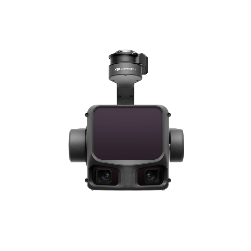
TerraScan LiDAR Pro 3D
LiDAR Standard
₹8,50,000 – ₹18,00,000

TerraScan LiDAR Pro 3D

Penetrates forest canopies for high-density topographical point clouds

LiDAR Rate240k pts/sec
ReturnsTriple Return
Accuracy5cm Absolute
checkCanopy PenetrationcheckRGB Colorized CloudcheckCorridor Flight Planner

infoOverview

Designed for land revenue departments, highway builders, mining corporations, and urban planners. Delivers survey outputs with ground sampling distance (GSD) under 1.5 cm/pixel without requiring manual ground control points.

Key Features

  • check_circleBuilt-in RTK/PPK GNSS receiver with 1cm horizontal accuracy
  • check_circleFull-frame 45MP mechanical global shutter photogrammetry camera
  • check_circleLiDAR payload support for dense vegetation penetration
  • check_circleAutomated corridor and polygonal flight grid planning
  • check_circleCompatible with Pix4D, DJI Terra, Agisoft Metashape

settings_suggestTechnical Specifications

AccuracyHorizontal 1cm+1ppm / Vertical 1.5cm+1ppm
Camera45MP Full-Frame Mechanical Global Shutter
Area CoverageUp to 3.5 sq km per single flight
GSD0.7 cm/pixel at 50m altitude
FormatsLAS Point Clouds, GeoTIFF, DEM/DSM, OBJ
Target Audience

Who It's For

Civil surveyors, highway authorities (NHAI), mining firms, urban planning corporations, and GIS consultants.

chatGet Consultation

inventory_2In-The-Box

  • checkSurvey-grade UAV with RTK Base Station
  • check45MP Mechanical Shutter Payload
  • checkRugged ground station tablet with GIS planning software
  • check4x Flight packs
  • checkCalibration test target

Survey & Mapping Drones FAQs

helpDoes the camera have a mechanical shutter to prevent rolling shutter distortion?

Yes, our survey drones feature high-speed mechanical global shutters for distortion-free photogrammetry.

helpCan you provide post-processing software licenses?

Yes, we provide bundled licenses and full workflows for DJI Terra and Pix4D Mapper.